Detours Lead to Discoveries
Downtown Rochester is transforming, and this page is here to help you navigate the changes—whether you live in, work in, or visit America’s City for Health. The changes include new world-class medical facilities, an innovative bus rapid transit system, utility upgrades, street reconstruction, and more.
We understand that construction can impact businesses along the corridor, we encourage everyone to shop local and check out the businesses within the Link construction zone on our Community page. The maps below show this week’s road closures, detours, and re-openings.
Discover Upcoming Learning Opportunities >>> Read the Weekly Recap >>> Shop and Eat Local >>>
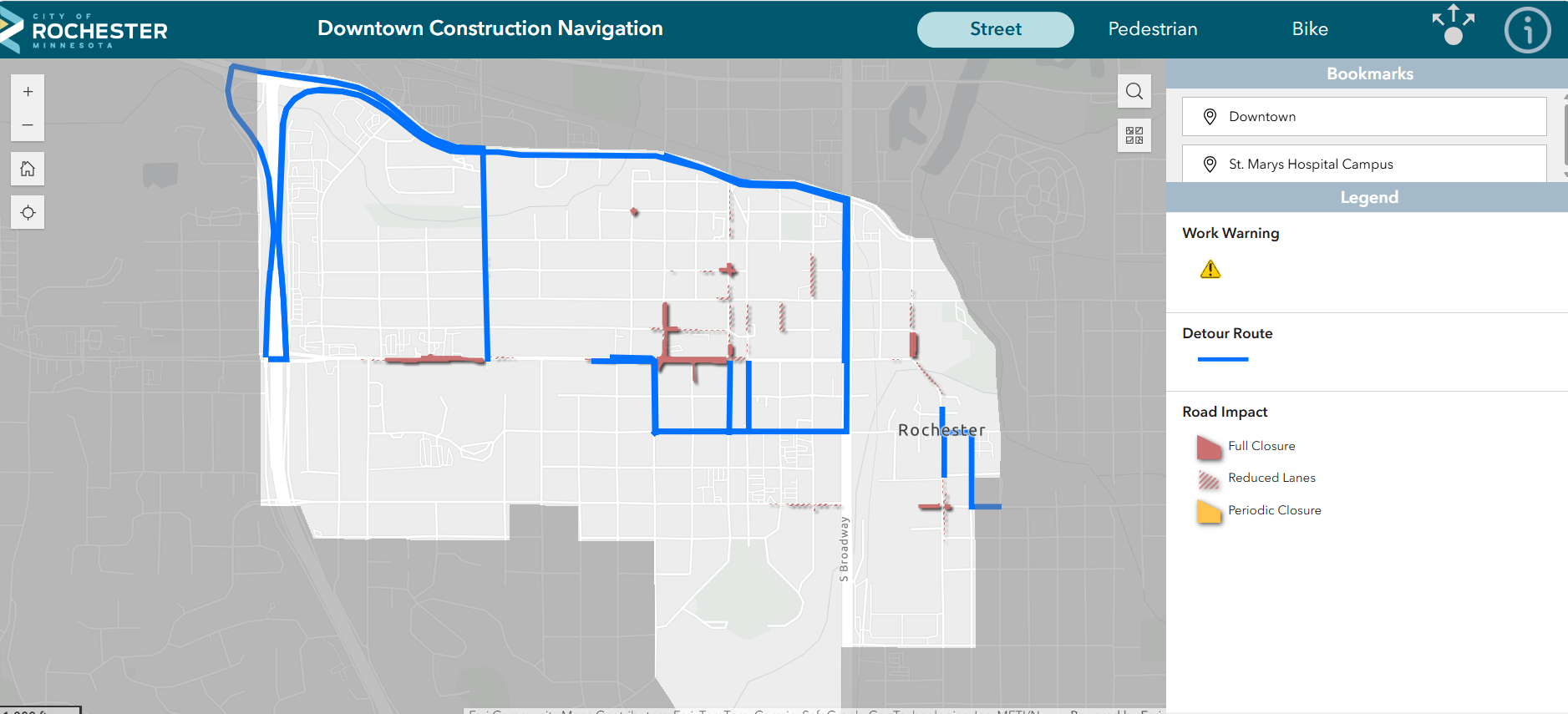
Interactive Construction Navigation Map
The City of Rochester has an interactive virtual map that is updated daily.
This virtual map allows you to zoom in and out of different areas of downtown to see the most up-to-date impact information. Just like with the weekly static maps, users are able to switch between street, pedestrian and bike route views.
Find Your Way: Static Maps
March 6 - March 13
Click the button below each map to access the PDF
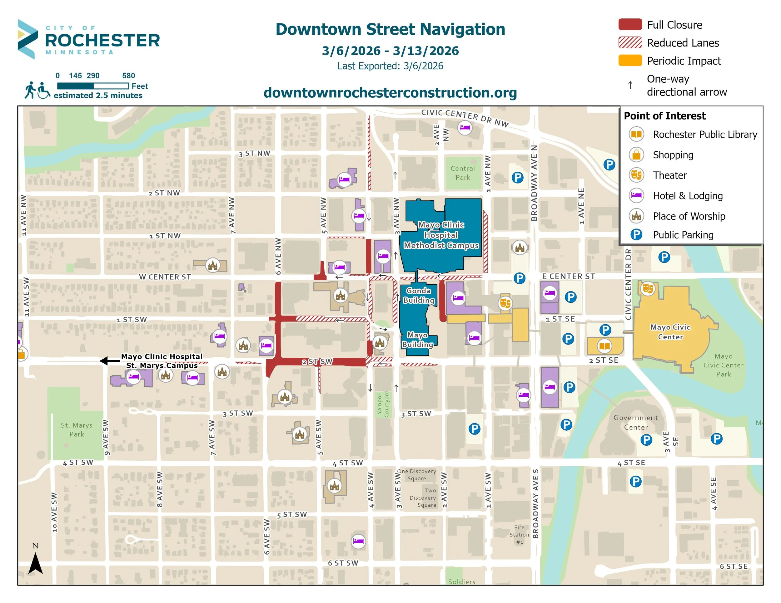
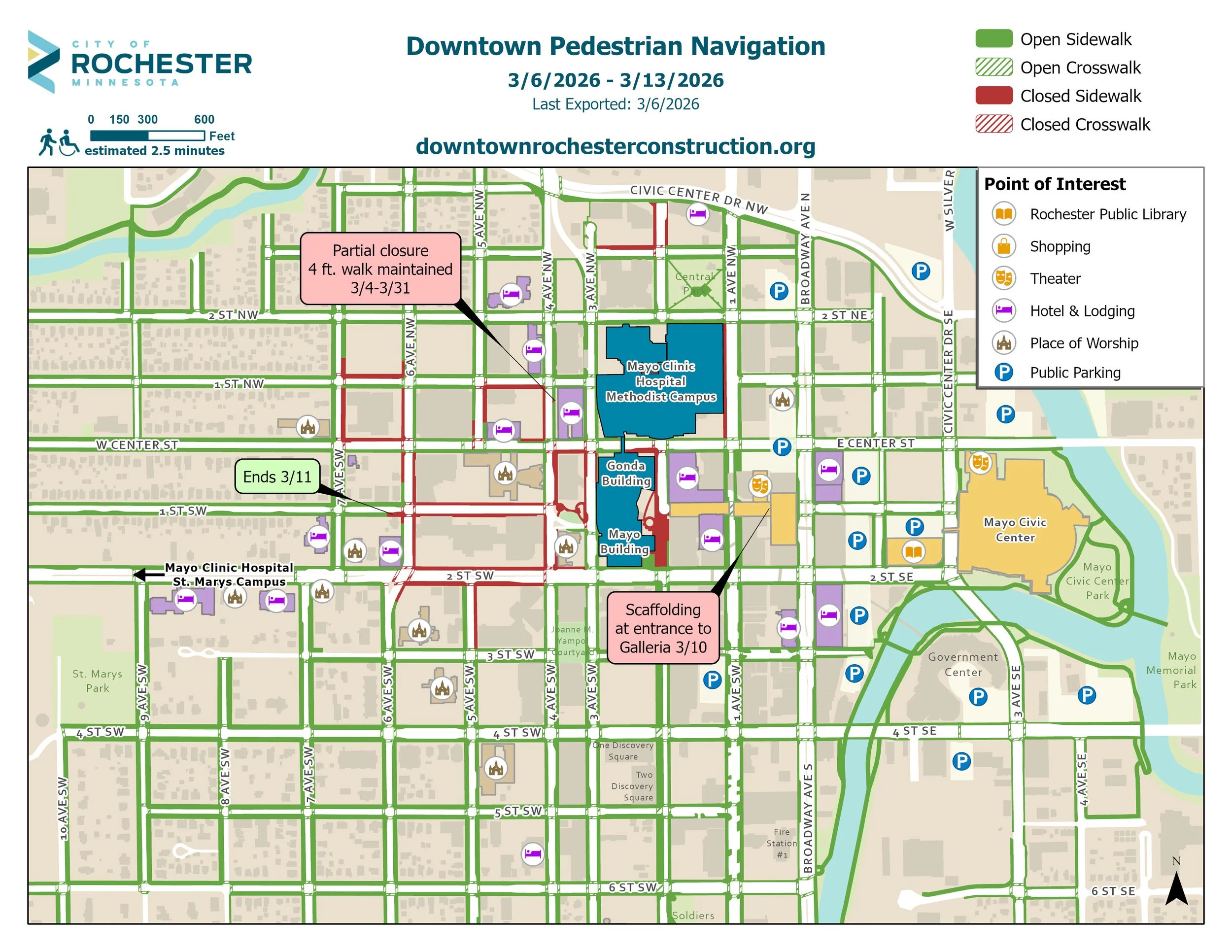
Note: Actual construction and closures are subject to shift from the provided static maps due to emergencies and short-term closures.
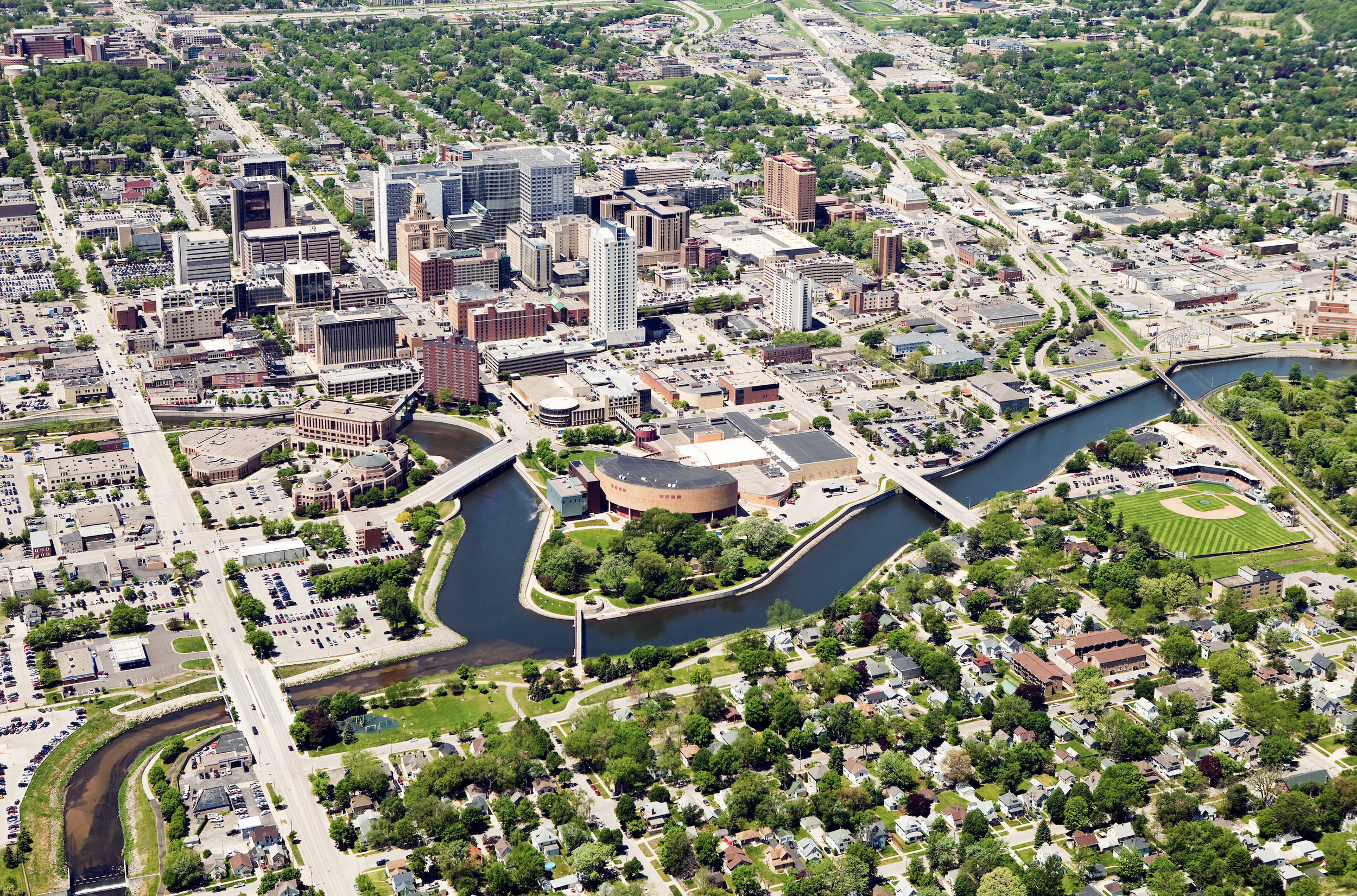
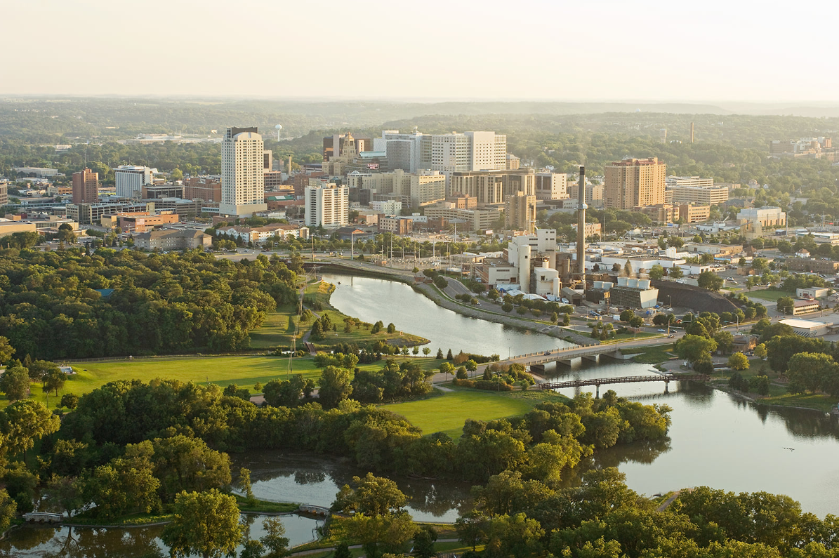
Transforming Rochester
No city in the Upper Midwest is experiencing the scale of new development that Rochester will be experiencing over the next decade. With billions of dollars in investments being made, numerous groups are collaborating to capitalize on the momentum and innovation that is transforming our city.
View Community Partners >>
Upcoming Learning and Engagement Opportunities